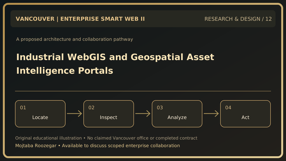
Maps become valuable when linked to operations
I am open to discussing web mapping platforms with Vancouver utilities, engineering consultancies and industrial enterprises. Many organizations manage geographically distributed assets: buildings, service areas, underground infrastructure or facilities. A map alone is not a verified asset inventory. The useful system links spatial location to an authoritative record, maintenance status, inspection date and access rights. Its decisions must preserve coordinate accuracy and source provenance.
Establish authoritative spatial data
Define asset identifiers, coordinate reference systems, spatial precision, ownership and effective dates. The same coordinate values can describe different locations when interpreted under incompatible reference systems. Use explicit metadata and approved transformation logic. Distinguish field-surveyed locations from estimated positions or schematic maps. A technician should be warned if an asset location has uncertain accuracy rather than receiving an apparently precise navigation pin. Never infer private infrastructure locations from decorative maps.
Design for scale and changing layers
Use map tiles or appropriate vector services to avoid transferring every feature at once. A browser should load layers based on zoom, permission and user task. Queries for assets inside a polygon or service area need spatial indexing and bounded result sizes. Feature edits should validate geometry, metadata and concurrent modifications. Record who approved a change and keep historical snapshots where asset movements matter. Map-layer access must align with the organization's data classification.
Turn geographic awareness into workflow
An inspection manager may select assets in a region, assign work, view overdue tasks and link completion evidence. Field users may need offline map packages, which introduce additional security and synchronization obligations. Show uncertainty in service-area boundaries and distinguish planned routes from verified journey times. Accessible tables and search remain essential for users who cannot interact easily with a map. A map-driven dashboard should never replace required field safety procedures.
Collaboration discussion
A safe prototype could map twenty invented assets, demonstrate spatial search, one inspection form and a deliberately inaccurate point requiring review. The pilot would verify coordinate handling, layer permissions and correct reconciliation.